Tim Havenith's Blog, page 11
March 18, 2022
Calne Community Neighbourhood Plan Survey
 Graphic: (1) Calne Community Neighbourhood Plan | FacebookWe're in the process of updating the Calne Community Neighbourhood Plan.I would really appreciate it if as many of you living in Calne could spend a few minutes filling out this form, so we can gain a greater understanding of what's important to you all. The questionnaire is here.Our website is here: https://www.calnecommunityplan.com/Thanks,
Tim


February 28, 2022
Place Names of Calne: Duncan Street
 Duncan StreetThis collection of 80s-built red brick houses is named after Canon John Duncan (1833-1907), who was appointed Vicar of Calne in 1865 by the Bishop of Salisbury (after the death of Canon Guthrie). This is a man known to get things done, he joined Calne after leaving Lyneham. During his 6 years there he had created 2 new schools, a new church a Bradenstoke and had restored the church at Lyneham[1].
During his time in Calne, the cleric and educationalist, founded St. Mary's School, which opened in 1873 after he had secured funding. This school was to provide the girls of the area a sound education and a definite faith in Christ. Duncan was also instrumental in having the Mill Street and Guthrie schools enlarged and being the president of the Literary Institution, was prominent in the creation of the Free Library in Calne (the Carnegie Building)[2].
Duncan remained Vicar of Calne, for 42 years, until his death in 1907. He had preached 3 times the preceeding day (Sunday), but was suddenly taken ill on the Monday afternoon, after spending time engaging in business with the Town Clerk. He died at the age of 74, the cause being angina pectoris[3].
His funeral was held on Saturday, 2 February 1907, at the Parish Church and Trinity Church, where he was interred in the Trinity Church churchyard. Lord Lansdowne was one of the pallbearers, with Lady Lansdowne and Lord Kerry being among the mourners, perhaps a small sign as to how valued this man was to Calne.
References:
[1] Stedmond, K., 1986. St. Mary's School Calne 1873-1986. 1st ed. Stroud: B.A. Hathaway Printers.
[2] 1907. Death of the Rev. Canon Duncan. Wiltshire Times and Trowbridge Advertiser, 2 Februar 1907. p.5.
[3] 1907. Death of Canon Duncan of Calne. Bath Chronicle and Weekly Gazette, 31 January 1907. p.8.
January 31, 2022
Place Names of Calne: Oldbury Prior and Oldbury Way
The area was in use from around 1000 BC, having been dated from a Bronze Age enclosure. This then developed into a hillfort, with a later extension to the west. The back end of the hillfort shows bivallation, meaning that it is bounded by a double line of ramparts.
A 1996 survey revealed evidence for around 20 circular features along with archeaological finds. This seems to suggest that the hillfort was occupied around 2000 years ago. It is also known as a Roman finds spot, as well as being used for flint quarrying, quite possibly for the Bath Road turnpike[1].
 Oldbury Way
Oldbury Way leads the way to Silbury Road on the Curzon Park estate. This street of bungalows was built in the 1960s-70s.
 Oldbury Prior
Oldbury Prior is situated to the north-west of Holy Trinity Church. Prior probably relates to the street being developed on the land of a previous vicarage, mentioned in the 1840s tithe supplement. If this is the case it would pre-date Holy Trinity, which was built in 1867. The street was built by Stokebrook Homes in 1990.
References:
[1] National Trust. 2019. Oldbury Castle | National Trust. [ONLINE] Available at: https://www.nationaltrust.org.uk/calstone-and-cherhill-downs/features/oldbury-castle. [Accessed 16 August 2019].
January 27, 2022
*New Book* Bremhill Parish: Through the Ages by Louise Ryland-Epton
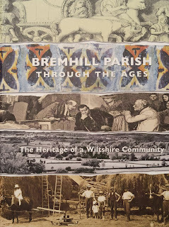
I have been fortunate enough to be given a copy of Bremhill Parish: Through the Ages by Bremhill Parish History Group for the Calne Heritage Centre reference library.

Looking forward to reading this lavish-looking book. You can get your own copy here. If you've already read it, you can rate and review the book here.
November 30, 2021
Place Names of Calne: Wessex Close

 Wessex Close is a collection of 3-4 bedroom houses built c.1972, named for the ancient Kingdom of Wessex.
Wessex was one of the Kingdoms of England in Anglo-Saxon times and is an elision of the Old English form of "West Saxon". While the area covered fluctuated over time, the permanent area covered the counties of Dorset, Hampshire, Somerset, and Wiltshire.
Here's a very brief look at the Kingdom of Wessex as it relates to Wiltshire:
The first king of Wessex is thought to be Cerdic, who reigned from around 520, at the foundation of Wessex to c540. He is thought to have been aggressive and in this manner accumulated more lands, which then created the Kingdom of Wessex.
His son Cynric c.540 to c.560, came up against the fierce native Britons of Wiltshire when it was his turn to be king. However he did have victories at Sarum and Barbury Castle (c.556), which lies on the ancient Ridgeway and would be been an important strategic route for communication.
It is the next king, Ceawlin c.560 to 572 or 591, that is thought to have ordered the construction of the eastern Wansdyke between Bristol and Wiltshire. There are different theories about who constructed the Wansdyke and why, including that the remaining Romans built it in the late 4th Century as a last stand against the local Britons. This massive defensive earthwork still exists today and is a well known long distance path that is accessible from Smallgrain Plantation near Morgan's Hill.
 Alfred the Great statue, Pewsey.The greatest of all kings, Alfred the Great (871-899), lost his first battle in Wilton, Wiltshire in 871. Alfred then had to make peace with the Vikings at this point to prevent them occupying Wessex. After some success against the Danish, Alfred again lost at Chippenham in 878. This is where the famous story of Alfred hiding in the Somerset Levels and buring some cakes, comes from (which lives on in the common name of King Alfred's cakes for the fungus Daldinia concentrica).
After sending out messengers to rally his people in Devon, Dorset, Somerset, and Wiltshire, he had enough reinforcements by 878 to launch a counter attack. He defeated them at the Battle of Edington, near the location of the Westbury White Horse. Leading his army north to Chippenham, he starved the Danish into submission. Alfred converted the Dane's leader, Wulfred, to Christianity in Wedmore, Somerset.
By the time of Æthelstan's coronation in 925, the Anglo-Saxons had taken retaken much of England. Only an area around York remained with the Danes, due to an ongoing truce. However, wen the Danish king died in 927, control was taken of this area to, making Æthelstan the first King of England. By the time of Æthelstan's death in 939 all the Kingdoms of England were under a single banner, with Welsh and Scottish kings accepting overlordship[1].
References:
[1] https://www.historic-uk.com/HistoryUK...
November 13, 2021
Calne Heritage and Amenities Organisation
 At the beginning of 2021, I founded and chair Calne Heritage and Amenities Organisation a small group of passionate people that deliver projects to and for the people of Calne.
 We have been funded by Calne Town Council to deliver two projects: Firstly, to replace ceramic art tiles that have gone missing over the years at Beach Terrace. Secondly, to deliver an updated Public Art Trail, which was created c. 2000.
In addition to this, we run the Calne Tree Planting Partnership and the Calne Community Nature Reserve.
Check out our website to discover the other projects that we've been involved with and have upcoming:calneheritageandamenities.org.uk
November 12, 2021
Route 015: Calne to Heddington Circular
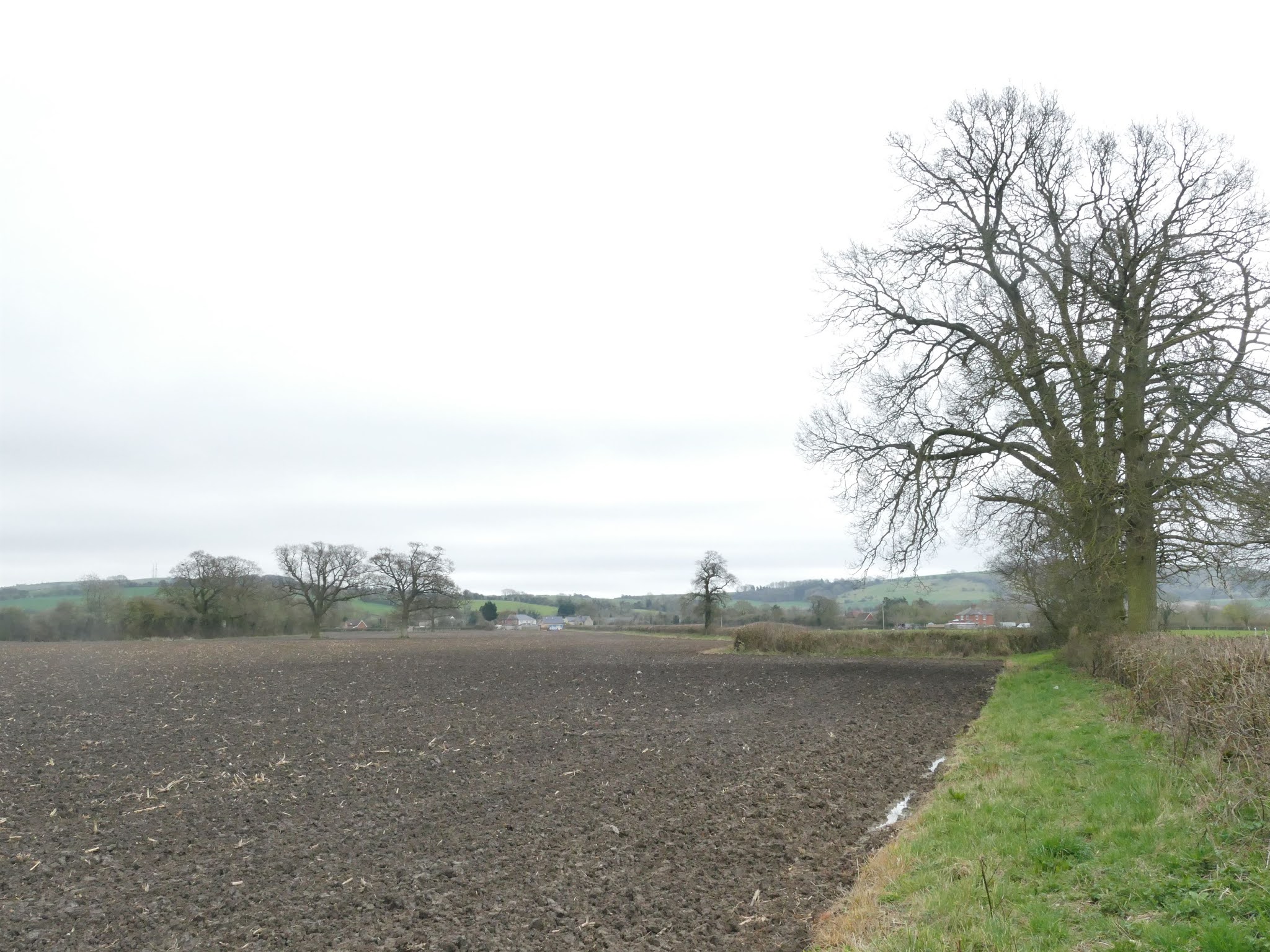
This is a 6 mile walk through the fields between Calne and Heddington, with some exploration of Heddington itself.
This is a more advanced walk as you may come across fields with sheep, horses, and cows, along with crops of maize - you may wish to wait until winter or early spring to try this walk if you aren't keen on farm animals.
 Important Information:There is on-street parking available at The Rise.This walk is not accessible for mobility scooters, pushchairs, etc. Additionally, the only benches available are at Heddington.
The fields can be muddy. Depending on crops, you may need to follow the edges of fields, rather than the Right of Way line. Some fields will have either cows, sheep, or horses in them - please do not undertake this trail if you do not feel confident. With the livestock in mind, please keep dogs on a lead.
Instructions:

1) This trail begins at The Rise, just off Stockley Lane. If needed, there is plenty of on-road parking here.
Continue on past Charlieu Avenue, named for Calne's Twin Town in France. The other two Twin Towns are Eningen in Germany, and Caln, in the US.
Staying on The Rise, until you see the bollards that prevent through traffic between the two different housing developments. Turn right onto the path that will take you past an attenuation pond. This will take you past a magnificent oak, to your left, which was thankfully left in place when Redrow's Cherhill View development was being constructed.
Continue on past the end of Kingsplay Close and straight on towards the post with the Right of Way arrow.
Take a left at this point, following the stone wall. Cross over the road that leads to Rookery Farm. Look for the gap in the Beech hedging, the Right of Way continues between this hedge and the fencing.

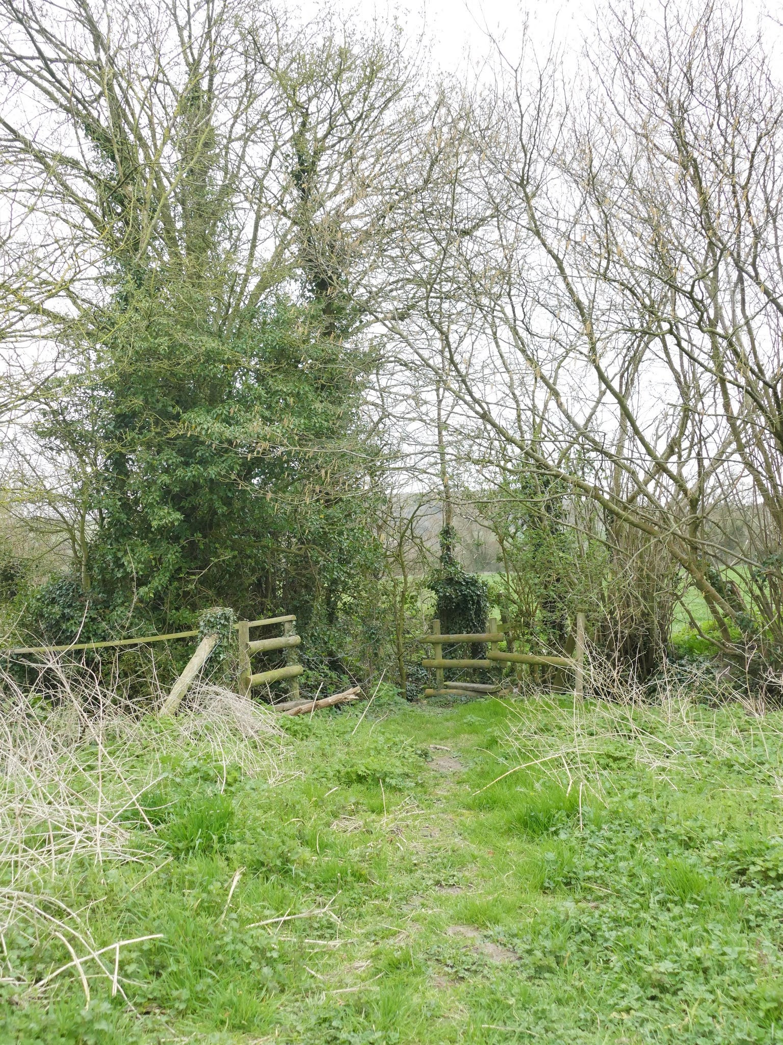
2) After a short distance, you will reach the first stile.
Keep to the left of this field, following the fencing. This field can be muddy. Cross over the stile.
Turn left, keeping within the field, following the hedge boundary on the right of the field, taking in views of the Lansdowne monument and the Cherhill White Horse.
When you reach the corner of this field, cross over the stile.

3) This field is often used for growing maize. The Right of Way leads SSW in a straight line.
However, if a gap has not been left for walkers, then you may need to turn left and follow the field boundary. At the end of the short edge, turn right and continue along the long edge until you make it to the gap in the boundary - indicated by an old rusted metal gate.

4) Follow the path through a small wooded area with a bird pen, leading you to the next field.
The Right of Way here is directly south to a kink in the hedging, at which point you follow the hedge. Crossing between the gap in the hedge into the adjoining field to the left - the stile here is broken, so take care.
If a gap hasn't been left in the crops, you may wish to follow the field boundary to the opening in the hedge.
5) After crossing into the adjoining field, keep to the grass verge alongside the field, heading SW. At the corner of the field, turn left, following the field boundary, heading towards the oak trees.
You will then reach a small stretch of hedge. Follow this to the left and then right.
Cross the two stiles, one after the other, leading you into a grass field, often populated with sheep.
 Head towards the cream rendered house. Take the stile and cross the road at Stockley, continuing on the track between the cream rendered house and the red brick house.
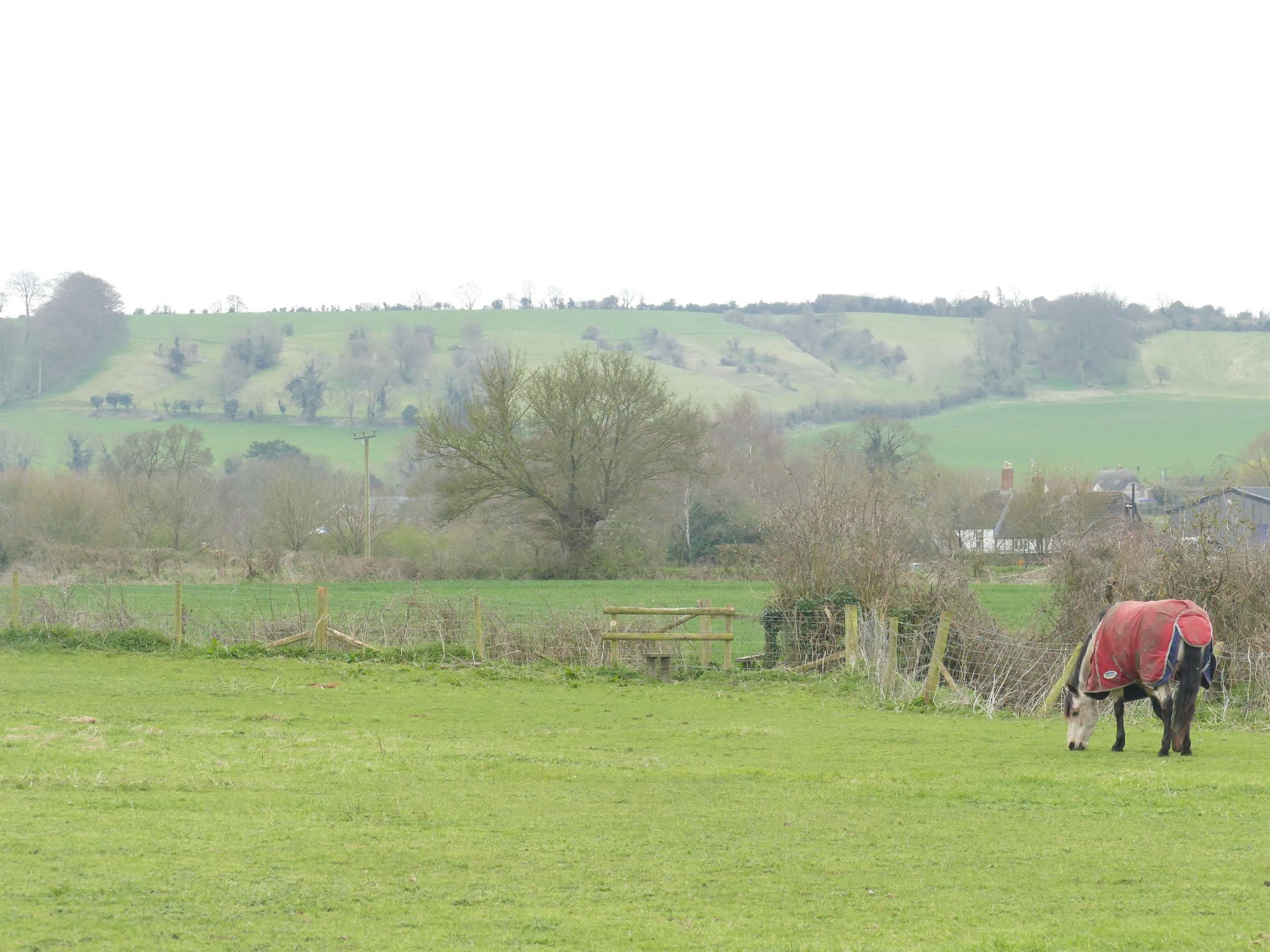
6) At the stables, make your way through the metal gate. The stile and level water crossing is at the end of the field.
However, if you are concerned about horses, you may wish to make your way around other other edge of the field - please stay safe.
After crossing the bridge, take a left and follow the field boundary as it curves and heads generally south.
 A Rights of Way Hub
At the corner of this field you are at a RoW hub of sorts, with five different paths meeting at this single point. This is such a historical location. As you follow the path, cross the two stiles and water course crossing, you are actually stepping over a Roman road. This Roman road once connected London and Bath, it was later used as part of the Wansdyke.
The Wansdyke is a series of defensive linear earthworks from the early medieval period. It is now a well-known walking route separated into the East Wansdyke and West Wansdyke, which connect at Morgan's Hill, a few miles east of Heddington.
This crossing also marks the boundary between Calne Without and Heddington.
7) After you cross into Heddington Parish, continue SW to the vehicle track at the field boundary.
Continue SW. Depending on crops, either cut the corner of the field, or keep to the field boundary all the way around the northern and western edges of the Paddock Farm buildings.
As you reach the next field, at the south western corner of the farm compound, continue directly south for 120 meters to a gap in the wooded area. Cross the stiles here and continue south (crop dependent) to the metal farm gate at the far corner of the field.
 The Charles Willis Hall
8) After passing the gap to the right side of the gate, continue up the track towards Church Road, you are now in the beautiful village of Heddington.
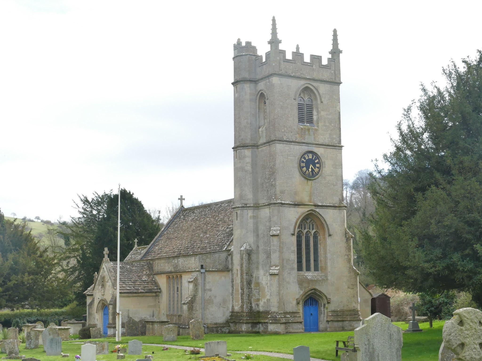
Cross Church road to the path on the south side of the road. Turn left, following the path in a south easterly direction, crossing Hillside Close, towards St. Andrew's Church.
There are many interesting buildings in Heddington, here I will mention just a few, including The Charles Willis Hall, which was built c. 1966.
 Heddington School Buildings
The school buildings were built in in 1883, with additions in 1893. The school was part of the National Society from 1860 and is now Heddington CE Aided Primary School.
Continuing along down towards the church, you'll come across a telephone kiosk that has been nicely converted into a Book Swap Box - if you've brought along a book, this is the place to swap it!
While being respectful of privacy, have a quick look at Grade II listed 'Thatched Cottage', which can be seen a metre or so past the telephone kiosk. This absolutely stunning building was built in the 17th century as a timber frame with red brick panels.
9) Continuing onwards, you can take a load off at the street-side bench, or continue on to St. Andrew's Church.
Enter the church grounds at the first gate, taking in the beauty of this C13 to C15 Anglican parish church. The Grade II listed church has a three-stage tower, which holds a peal of six bells, with a stair-tower that reaches slightly higher.
As you continue along the path, you will reach the C15 porch, which contains a carved figure in the niche above the doorway. Importantly, the churchyard is home to five Grade II listed chest tombs.
Spend as much time as you like here, when you are ready to leave, do so by the path that leads out through the lychgate.
Walk a few metres along the path back past the churchyard, crossing the road to enter the field using the stile.
Continuing in a north east direction to the metal gate, take a look back to view Heddington Manor, an early C19 house, also Grade II listed, with a fantastic mansard roof (also known as a French roof).

10) Exit the field via the metal gate, turning right. There is no path here, so remain on the right side of the road to face oncoming traffic.
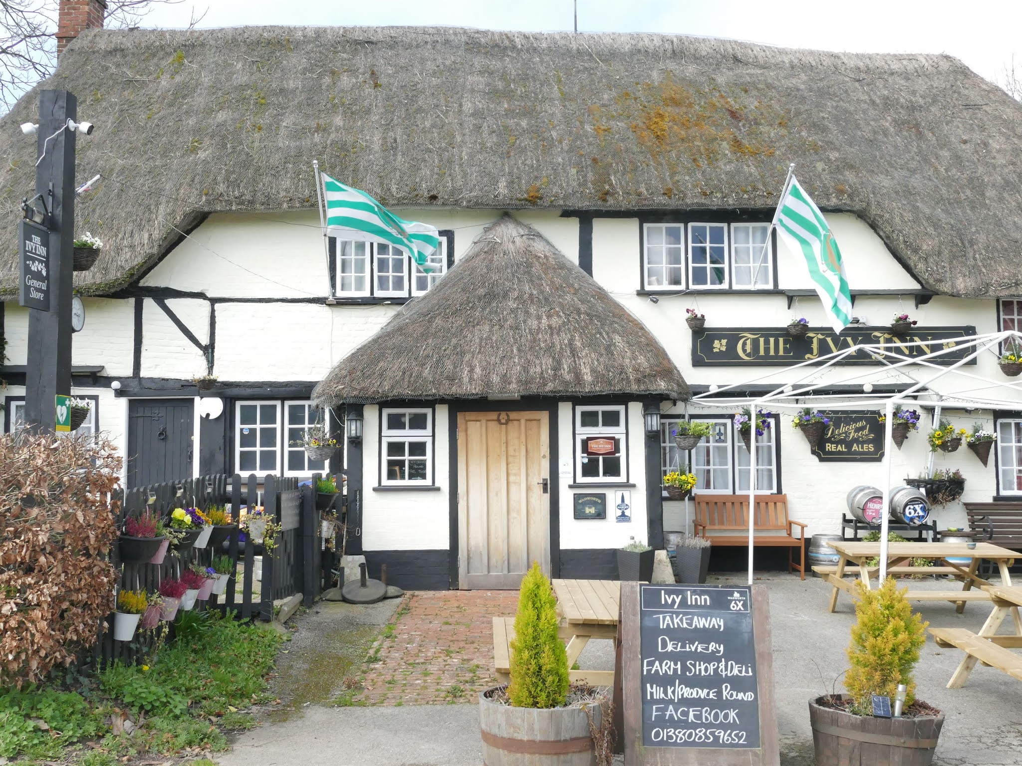
After a very short distance, you'll pass The Ivy Public House. This 17th century, timber-framed pub is well worth a visit. The building, with painted brick and render, along with thatched roof and thatched porch is very picturesque.
Continue onwards, crossing Hampsley Road and passing Manor Farmhouse.


11) Look out for a terrace of houses to your left. Opposite them is a RoW sign pointing into the field to your right. Cross the stile into the field.
The next stile is straight across this field, heading east. However, depending on crops, you may need to skirt some of the south edge of the field.

12) Head north east towards the trees/hedging, which you will need to keep to your right. At the corner of the field, head through the gap in the trees. You will now be in a narrow stretch of field, bounded by trees.
Pass the broken metal gate into the next field, keeping to the right edge of the field and crossing the stile after just 40 metres.
Turn left and keep to the edge of the field for 190 metres, passing through a wooded area at the end. Cross the stile and continue onwards.

13) You are now heading towards Harley Farm. Cross the field heading to a metal gate.
At this point turn directly right and walk past the pond, taking a left.
Cross the road and go over the stile.
Keep heading north, with the hedging to your left. As the hedge veers to the left, continue straight on, heading to the stile ahead of you.
Continue north across the next field to the gap in the hedge.
Turn left onto the track.

14) Walk along the track following the bend to the right, and past the houses.
You will see a RoW sign on a post. Turn right seeing the metal gate. I found this gate to be locked with extensive electric fencing. Climb the gate and be careful of the fencing, if it is in place.
From the gate, look ahead to see the following gate, this is where you are heading.

15) Head straight across this field, in a northerly direction, keeping the oak tree to your right. As you go on, you will see a metal drinking trough, aim for this as the stile is next to it. There is also a short wooden crossing for the ditch there.

You are now in a very long field. Head NNE for 470 metres. To your right is Blackland Wood, ahead of you are some trees. Three trees are particularly noticeable, you are heading to the left of these, where you will take a wooden crossing over a drainage ditch and over a stile.

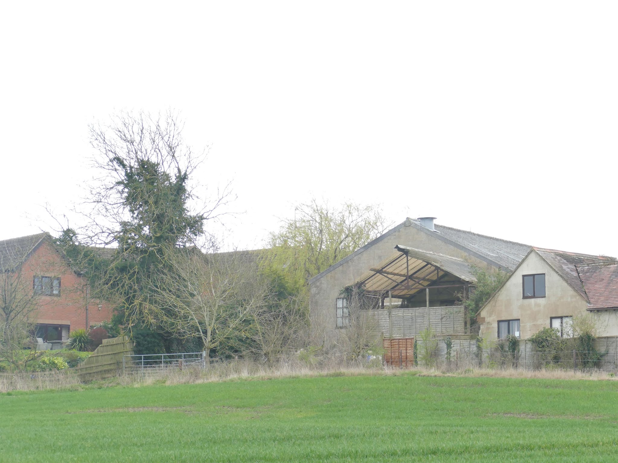
16) Head NE towards the Blackland Farm buildings. Blackland Farm is a cattle farm, so be aware of cows in the fields.
As you process, you will see a drinking trough. After this is a stile, although the metal gate to the left of it may be open.
Follow the track out to the road at Blackland.

17) At the road, cross over to the metal gate, highlighted by the RoW signpost.
Follow the path along and past the gardens of Sunny Terrace. Then head in a NW direction, heading towards the stile in the barbed wire fence.
Continue NW towards the trees at the upper corner of the field.

There is a stile, stream crossing, stile to navigate at this point. Turn right, following the hedge and out over the stile onto the bridleway, where you will turn left.

18) The bridleway goes along the southern edge of Blackland Park. The cottage on your right is called Fisherman's Cottage, while to your left is aptly named Bridlepath Cottage.
Follow the bridleway until you reach the bridge over the River Marden.

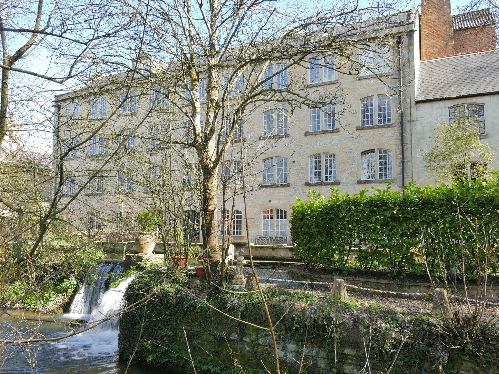
19) At the bridge, you will have reached the Lake View housing development. This includes Upper Quemerford Mill, also Provender Mill, which was built c. 1594 by the Chivers family as a fulling mill. The mill has a rich history, being used as a grist mill, a provender (dry foodstuffs) store, as well as being storage for herbicide and pesticide. Milling ceased in 1982 with the mill being converted into offices with additional buildings under the name Provender Mill. The steel framed mill was demolished in 1986. The site was used to store fertiliser, seeds, and agro-chemicals until 2001, after which the mill was converted again, this time into flats.
Part of the mill can be seen from the bridge, looking upstream. To see the rest, continue into Lake View.

When you have finished looking at the mill, continue along the path from the bridge, crossing the road and heading on. s you reach the end of the path, cross over the road and go along the path between the houses, turning left at the A4 at Quemerford.
20) Heading east on the A4 for around 160 metres will bring you to another bridge over the River Marden. On the wall of this bridge, you may notice a deep 'U' shape where the stone has been worn away. This is apparently due to steam engines hanging their pipes over to suck up water for there engines in days gone by. Looking across the road to the other bridge wall, you will notice another wear make.
After crossing the bridge, take a left down the path, following the river. This will lead you past Lower Quemerford Mill and the Old Brew House. The earliest known use for this mill was as a fulling mill. It was rebuilt in c. 1759 as a water-powered cloth factory, before being converted into a grist mill in 1841 as the cloth industry declined in the local area.
Follow the path out to Stockley Lane, which you can then cross over. Head south for a few metres, turning left onto The Rise and the end of this trail.
Words and Photographs: Tim Havenith
Map from the lovely folks at OpenStreetMap. © OpenStreetMap contributors.
November 6, 2021
C&T Harris Fundraising

C&T Harris Fundraising request
I am a Trustee of Calne Heritage Centre. We'd very much like to digitise the thirteen volumes that make up the C&T Harris Magazine. A magazine was published monthly between January 1927 and June 1940.
When digitised, we'd be in a position to make the content available to all and to be able to provide even better quality answers to your Calne and Harris-related questions.
But what insights do the magazines provide?
The contents include:*Information from partners all over England, such as Dunmow, Highbridge, Chippenham (Wiltshire), Eastleigh, Leeds, Redruth, Totnes, and others*An entry in every magazine from Sir John Bodinnar, the managing director*Announcements, some including photographs, of new employees, retirements, births, marriages, and deaths.*Plus a wealth of local history information for Calne and the area, including the floods Calne experienced.
Every donation, no matter its size, will be greatly appreciated.
Thank you!
November 5, 2021
Calne Tale Trails app
 I've been working with a fantastic team over at Calne Wordfest over the past 10 months. Recently we released our Calne Tale Trails app, with an updated version of the Calne Blue Plaque trail.
Along with images, this includes factual and creative writing for each Blue Plaque, and audio storytelling of those written pieces.
The ap is available on pretty much any device, from smartphone to desktop computer, so you can try it from anywhere!
We've added options for larger fonts, as well as a Dyslexic font in an attempt to make the app as accessible as possible.
Click below to give it a go!
http://app.calnewordfest.co.uk/
October 31, 2021
Place Names of Calne: Wyvern Avenue
 Wyvern AvenueBuilt around 1970, Wyvern Avenue, a mix of 3 to 4 bedroom houses, is named for a mythical beast.
The Wyvern of legend is a bipedal dragon, believed to be the symbol of Wessex and carried at the Battle of Burford[1]. The Saxons, led by Cuthred, won that battle and historians note that on the standard was a golden dragon.
The wyvern has become a symbol for the former kingdom of Wessex. The Wyvern is on the Wiltshire flag, Wessex Division Formation patch, and even on the arms of the Countess of Wessex.
So, it seems right that the street off Wyvern Avenue is Wessex Close, which will be discussed next.
References:
[1] Wikipedia. 2019. Wyvern - Wikipedia. [ONLINE] Available at: https://en.wikipedia.org/wiki/Wyvern. [Accessed 16 August 2019].