Andy Burnham's Blog, page 47
November 5, 2024
Siss Cross Hill - Enclosed Urnfield


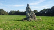
Ana Cross Round Barrow and Wayside Cross
November 2, 2024
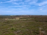
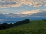
Gåsneset
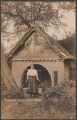
Rebecca's Well (Crazies Hill)
November 1, 2024
Stalldon Row
October 30, 2024
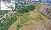
Monte Santa Croce-Cognolo
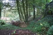
Trewsbury Camp
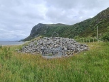
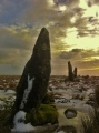
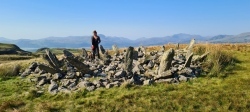
Bryn Cader Faner
October 29, 2024
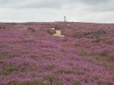
Skerrish Barrows
October 28, 2024
Carn menhir (Loperhet)