Andy Burnham's Blog, page 229
June 25, 2019
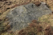
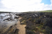
Rivock 28


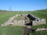
Temple of Mithras (Carrawburgh)
Gors Fawr Stone Circle

June 19, 2019
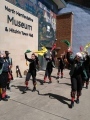
North Herts Museum
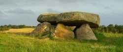
Torup Dysse
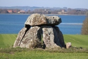
A part (approx one third) of the capstone has been lost due to blasting attempts, but the larger remaining part still rests on 4 orthostats.
June 18, 2019
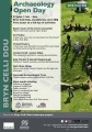
Bryn Celli Ddu
June 16, 2019
Callanish 15
Ballots Brunnen
Local tradition has it that one lives one year more with each cup you drink from the well.
Callanish 13
Sprove Jættestue