Andy Burnham's Blog, page 195
June 11, 2020
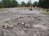
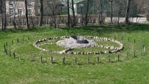
Bannock Point Petroforms


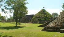
Moral-Reforma
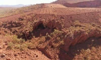
Pibara Petroglyphs
June 10, 2020
Hjulgraven i Hjordkær
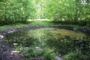
Tobiæ Kilde
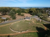
Second Roborough Down Earthworks
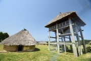
June 8, 2020
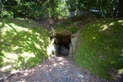
Oni-no-Iwaya Kofun (Iki island)
Haru-no-Tsuji Iseki
June 7, 2020
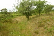
Blackpatch Hill Bowl Barrow
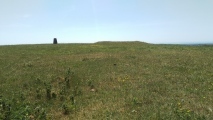
No trace of a ditch. Situated in pasture on the highest part
of Blackpatch Hill
June 6, 2020
Tossen-Keler Cromlech (post 2018)