
Borderlines and Strange Maps
Vagablogging :: Rolf Potts Vagabonding Blog
 I “discovered” the New York Times Borderlines blog last week, when a piece about Transnistria — a territory east of Moldova — caught my eye. I rarely come across any mention of Transnistria, so it was especially unusual to see it on the New York Times homepage. Turns out that Frank Jacobs, the author of Borderlines, has been writing fascinating posts each week since Oct 2011. I’m just now catching up. Here’s the official blog description:
Countries are defined by the lines that divide them. But how are those lines decided — and why are some of them so strange? Borderlines explores the stories behind the global map, one line at a time.
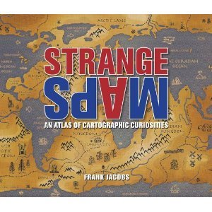
This blog should definitely be of interest to travelers, especially those who seek out unusual destinations. Incidentally, Jacobs is also the author of the amazing site Strange Maps, which has been featuring unusual maps since 2006. (He has a 2009 book with the same title.) Some of my favorite posts include The World on Your Shoulders: Map Tattoos, The United States of Autocomplete, and Just My Plug: Socket Map of the World.
And while we’re on the topic of cartographic curiosities, I highly recommend The Map As Art: Contemporary Artists Explore Cartography by Katharine Harmon. It’s my current coffee table book, and it nicely complements the 6 ft x 10 ft cartographic masterpiece hanging on my living room wall: the National Geographic Executive Wall Mural Map.
Original article can be found here: Borderlines and Strange Maps


Rolf Potts's Blog

- Rolf Potts's profile
- 323 followers

