Europe’s Lost Children — Interactive Maps
I’ve had the idea to create maps showing the main locations that the characters in Europe’s Lost Children go to for a while now. The books are something between an alternative history series, and a satire of 2010s European politics, depending on how you look at it.
I have already done the same with Tito’s Lost Children, a related series set during the breakup of Yugoslavia in the 1990s. However, I had a bit of a problem. Whereas in Tito’s Lost Children, the main characters are rather itinerant, in Europe’s Lost Children, our heroes — members of the EU’s Covert Action Service — use Brussels as their base of operations as some or all of them go out on missions to fight diabolical terrorist plots and Eurosceptic conspiracies (and sometimes get stranded there, when things get pear-shaped!). As such, much of the plot takes place in Brussels, with ‘visits’ to other parts of the region.
So, here’s the solution I came up with: Interactive maps that show where the heroes or antagonists went when the plot takes place outside of Brussels. The maps show what chapters the setting appears in, if a map marker is clicked. Hopefully, this gives readers a better sense of ‘where’ these places are in relation to one another, at what point they are the setting in the story and what they are like.
Just click on the maps below to get started!
Book One: Battling Brexit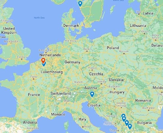 Book Two: The Migrant Crisis
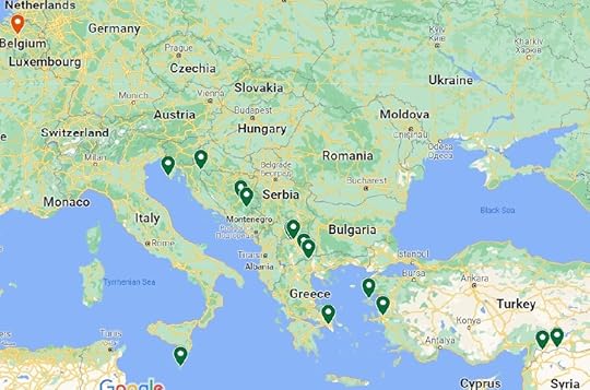
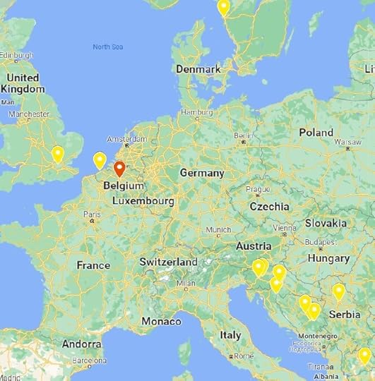
 Book Three: Orphans’ Plight
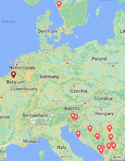
 Book Four: Brotherhood and Unity
Europe’s Lost Children is available here.