Looking through holes in the border wall

[pic: The U.S. border where it walks into the Pacific, viewed from Tijuana.]
If I had never left Iowa, the state where I grew up, I might find all this talk of building border walls more persuasive. Iowa is a long way from Mexico. But I’ve lived in the borderzone longer than I’ve lived anywhere else, and spent a good bit of time crossing over. Since 9/11, I’ve seen the U.S.-Mexico border become one of the most fortified places on Earth. Six hundred miles of sophisticated new physical barriers have been constructed since 2006, in the places where the Border Patrol said they were needed, expanding on the barriers that have been going up since the Clinton years—like the fortification pictured above that comes up out of the Pacific between Tijuana and San Diego. Other sections are fortified by the “virtual fence” of sensors, drones, blimps, surveillance towers and armed patrols—much of it using technologies and methods developed in Iraq and Afghanistan.
It’s easy to talk about border walls. I’ve written about them—here, here and here—arguing that their real purpose is not so much to actually keep people and contraband out as it is to persuade citizens far from the border that the legal fiction the wall renders tangible really exists.
It’s not as easy to look at border walls, especially if you don’t live within driving distance of one—or don’t want to confront the reality that diversity is the future no matter what barriers we may erect. But there are other ways to experience the reality of U.S. border fortifications that already exist.
Last year, for a conference in Monterrey, I conducted an experiment in looking at the border wall without ever getting up from my chair. Drawing inspiration from the work of the artist Jon Rafman and the Mexican photographer Alberto Rodríguez, I traversed the length of the border in Google Street View, on both sides, looking for holes in the wall. Here is some of what I found. Even better, try it yourself. Open Google Maps, find a spot along the border, launch Street View, and look for a way to cross. If you can find a hole, click on it, and see what happens.
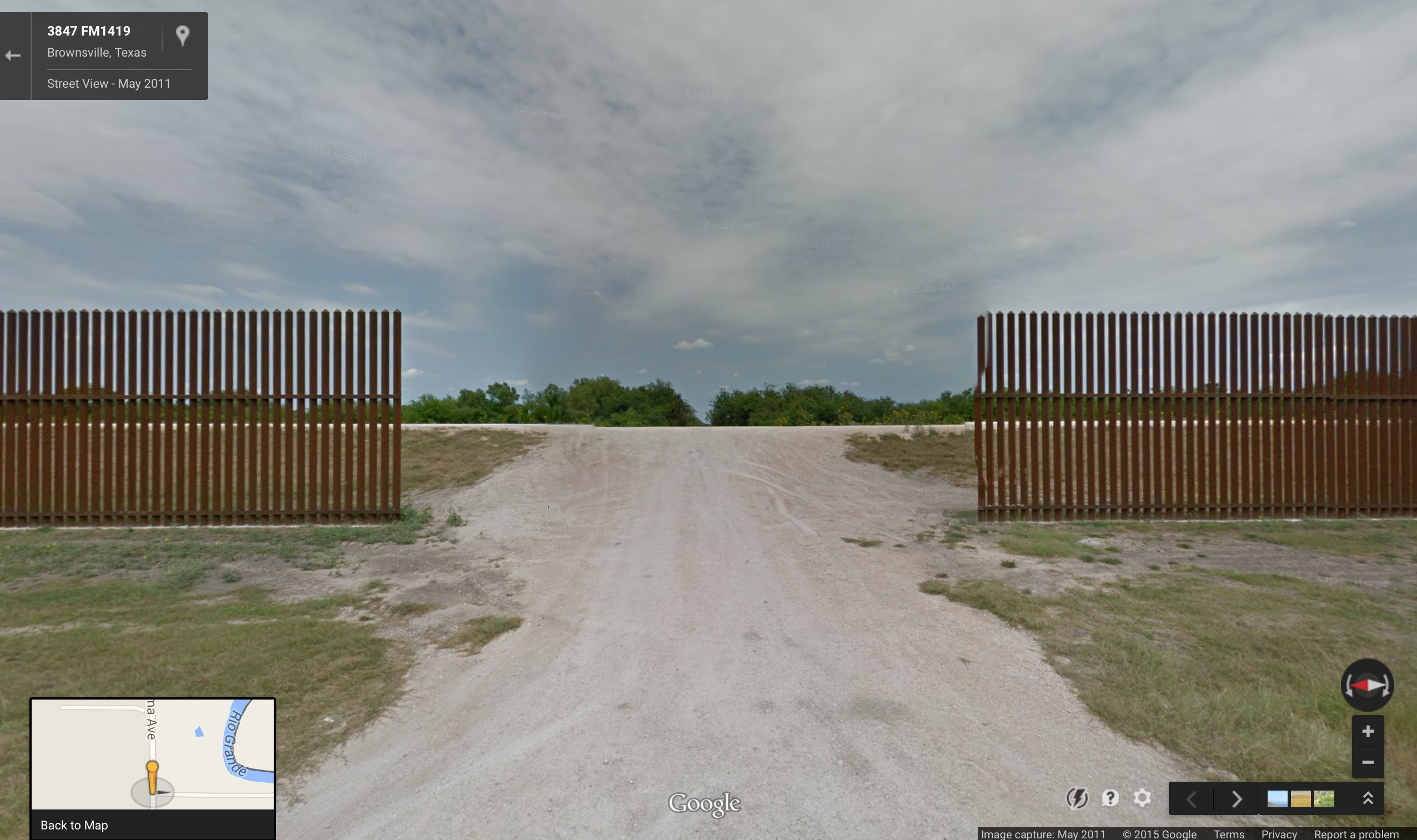
Border wall gate at Brownsville, Texas
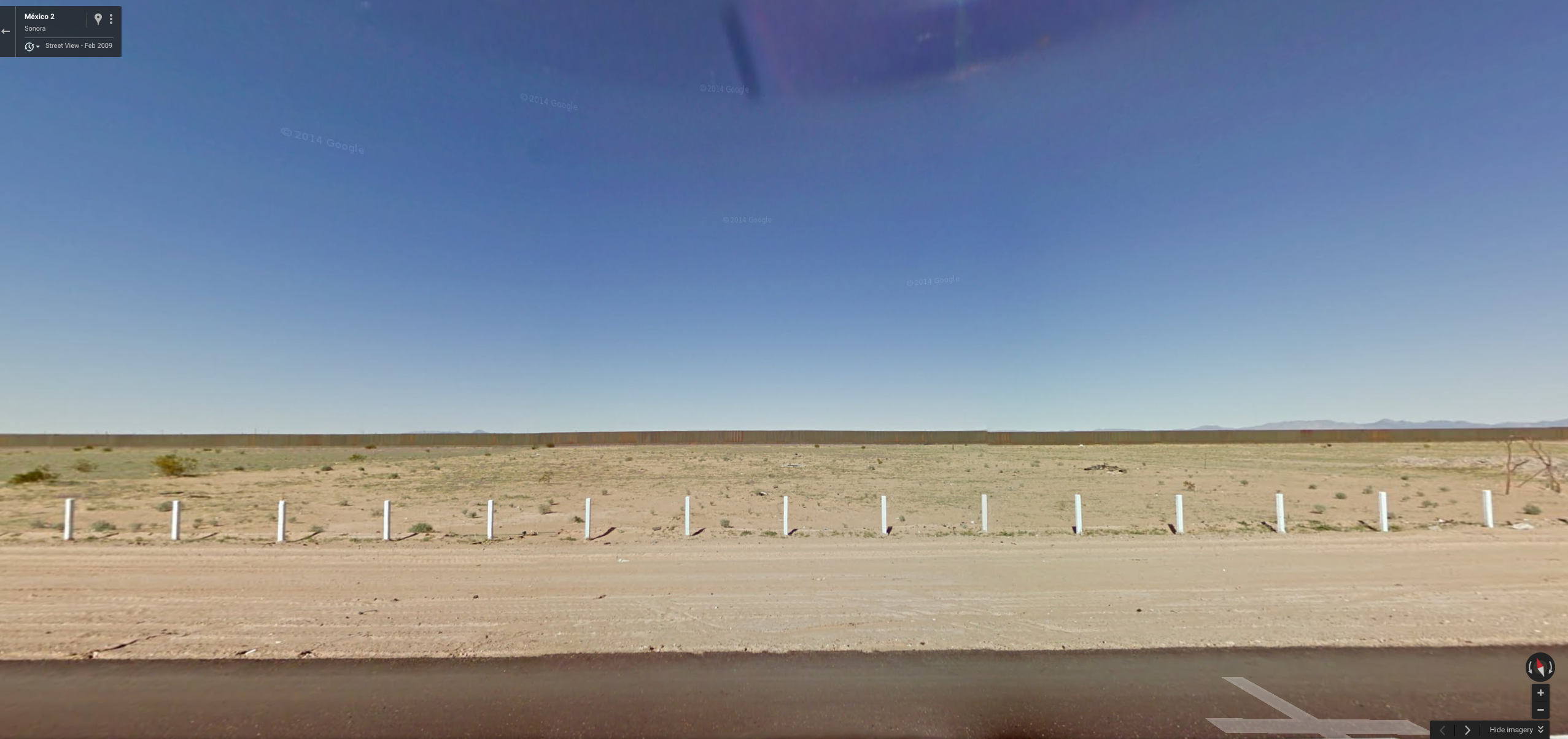
21st century border wall as minimalist land art, looking at Arizona from Sonora

Hole in the border wall, Matamoros

View through the border wall, Mexicali
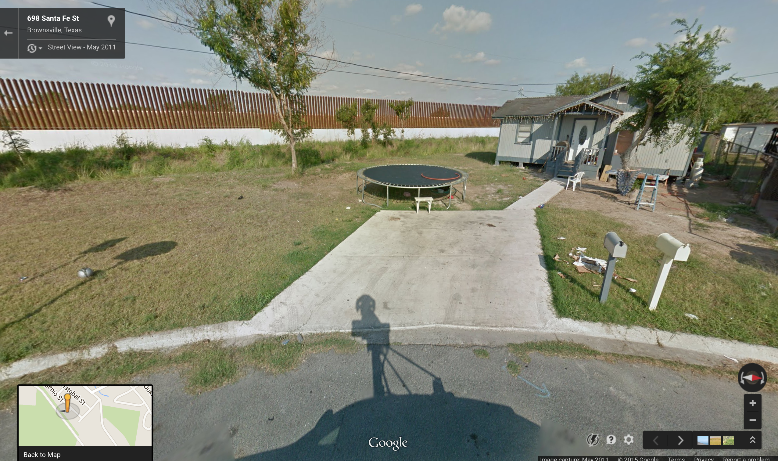
Texas backyard: trampoline, border wall, nine eyes
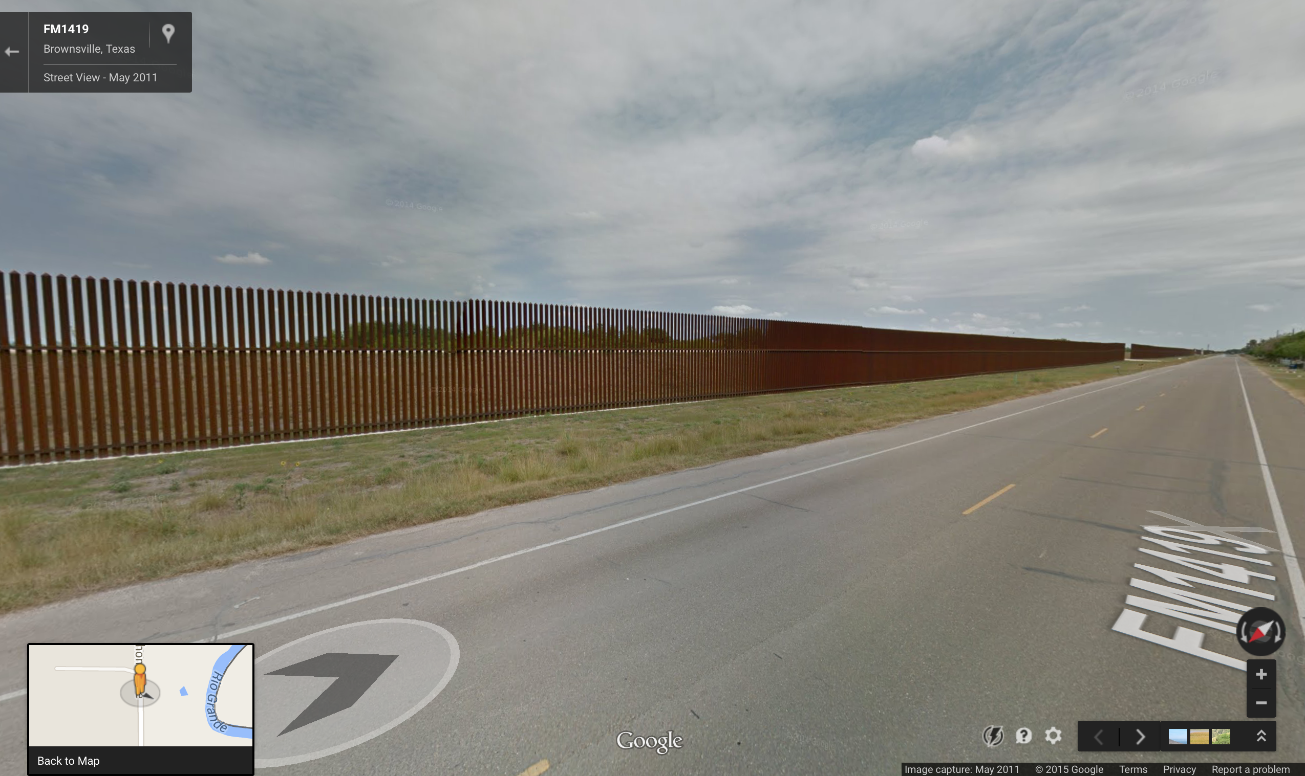
FM 1419, Texas
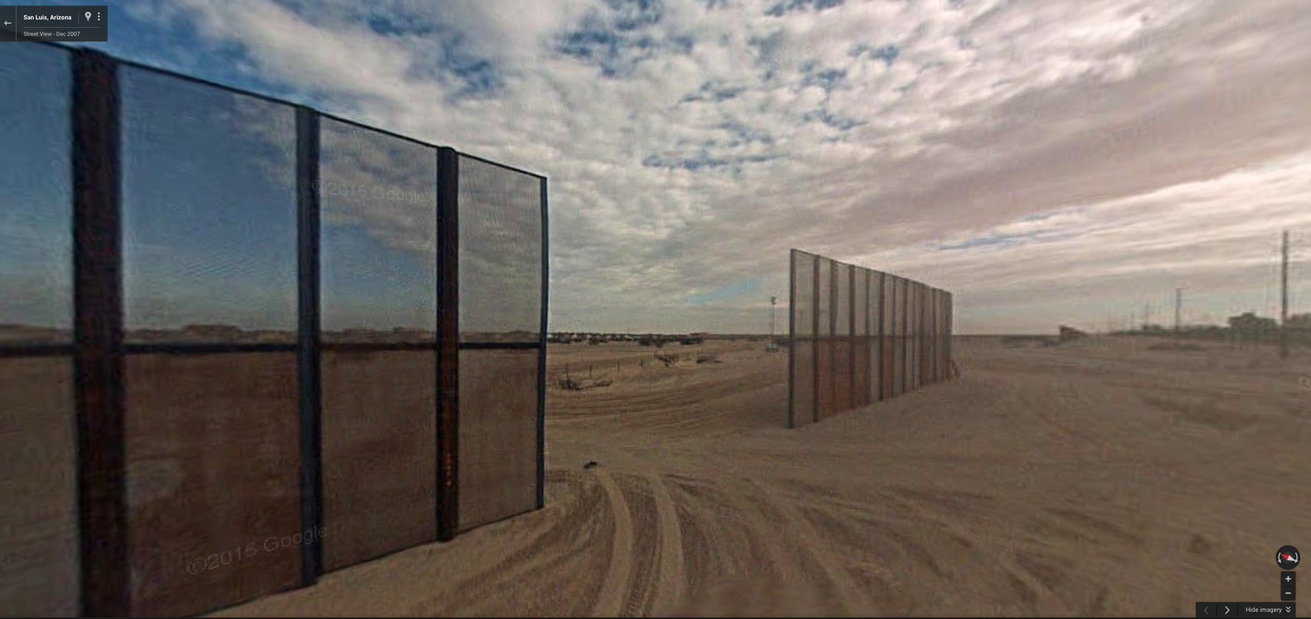
Border wall gate, Arizona
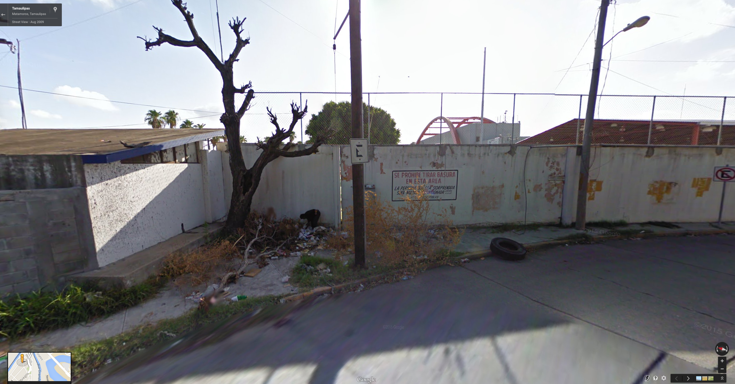
Forager in the shadows by a crack in the border wall at Matamoros, Gateway bridge span in the background
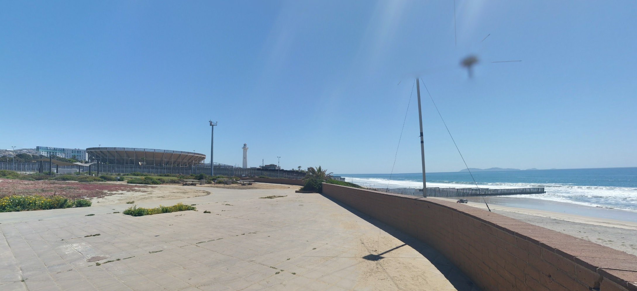
DMZ of “Friendship Park,” San Diego Imperial Beach, looking at the border wall where it goes out into the Pacific

Spectral street dog in Tecate, “Pueblo Magico”

Under construction, Arizona

Nogales, pedestrian crossing
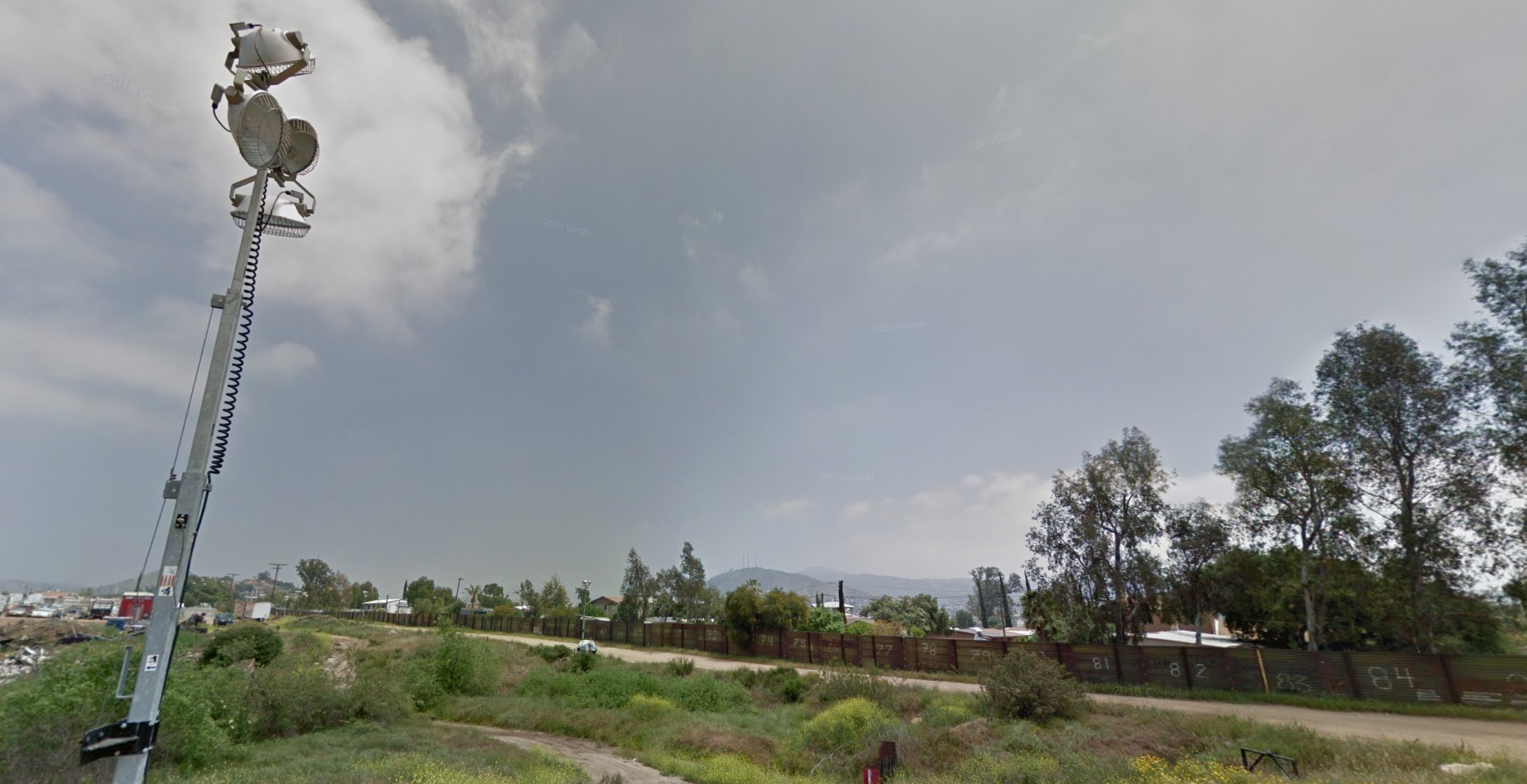
Arc lights over the border zone, suburban San Diego

Nogales, long view

Art museum with border wall, Texas

Memorials to a few of those who didn’t make it alive

Arizona DMZ, at the spot where this Border Patrol officer made the Google car turn around.