date newest »
 newest »
 Indiana wrote: "I love maps too. London street maps especially. I have that whole series of A to Z London map books starting with Tudor London. They are fabulous to look at. Its fun just to pick one small area..."
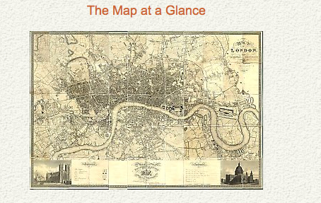
Since I've discovered the 1813 map, I've become obsessive about streets! I also have a great doorstop of a book by Peter Barber called LONDON: A HISTORY IN MAPS; have you seen it?
 Have you seen John Tallis' London Street Views? He published in 1838-1840, so it's later than your period, but they are really interesting images of London Streets showing the facades of the buildings in architectural elevations.
http://londonstreetviews.wordpress.com/
http://janeaustensworld.wordpress.com...
http://consecratedeminence.wordpress....
 Sherry wrote: "Have you seen John Tallis' London Street Views? He published in 1838-1840, so it's later than your period, but they are really interesting images of London Streets showing the facades of the buildi..."
Sherry, I'd seen some of his images but I didn't know about the londonstreetviews site. Thank you. Or maybe not--I could waste an extraordinary amount of time there!


As a reader I appreciate that you use maps in your research. It always bothers me when characters in other author's books are seen walking down streets that didn't exist at the time.