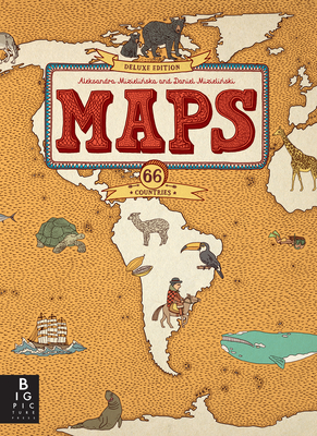
Questo libro vi farà compiere un viaggio inconsueto intorno al mondo. Vedrete i geyser islandesi, le carovane nel deserto del Sahara e le città dei Maya in Messico. In Inghilterra potrete giocare a cricket, in India praticare lo yoga e in Cina assaggiare le uova centenarie. In Australia ammirerete gli ornitorinchi, in Finlandia la notte artica e in Madagascar giganteschi baobab. Scoprite con noi gli angoli più curiosi della Terra e lasciatevi incantare dalla loro varietà. 67 grandi mappe vi accompagneranno attraverso 58 paesi e 6 continenti. Età di da 7 anni.
Aleksandra Mizielińska and Daniel Mizielinski graduated from the Academy of Fine Arts in Warsaw, Poland, in 2007. In 2010 they were nominated for the Bologna Ragazzi Award and the IBBY Honor List.
Checked this out of the library and renewed it the maximum number of times before just buying it myself. It’s truly a pleasure to make a cup of coffee in the mornings, sit on the couch by the big window with my girls and read this book. It’s an endless springboard for conversation and questions, and is really wonderful to look at and page through.
The maps are so crowded with pictures that you can barely make out the actual borders of the countries. I as an adult have a hard time interpreting these maps how in the world is a child supposed to. There are images that have nothing to do with landmarks while other important landmarks are omitted. The map of the U.S. is definitely the worst one. You can't even make out some of the smaller states like CT because a third of the state is covered by a humongous Statue of Liberty. I wish the whole book looked more like the Continental map diagrams which are very easy to read but this book is so gimmicky that it defeats the purpose of having an Atlas.
The maps are all fun to look at, but they are all very busy, like a Where’s Waldo book. Moreover, all the info on them is very, very brief - even shallow. Also, the selection of countries seems very arbitrary and heavily portioned to Europe. These would be more entertaining as posters, given to someone with a connection to of interest in that country, as each little drawing on each map would need to be studied to be remembered. That’s not to say they aren’t charming; they definitely are. It’s just difficult to learn from these maps or have a strong impression of any of them when presented in a big pile like this.
I read the reviews about this book missing some countries, but I think for our 11 and 9 year-old purposes of learning more about the world at large in a book full of pictures and facts, it's perfect! They tend to pick it up and digest in bites at a time and I love that it continues to engage their interest. I am also enjoying exploring it when I have a moment. Thanks for sending a copy our way for review, Candlewick Press!
Beautiful, stunning. One thing I love is a good illustration with thick borders and rich colors, the maps are packed with details of each countries’ culture and nothing else. It’s just maps.
I thought this would be a great introductory international travel guide when we travel with our daughter.