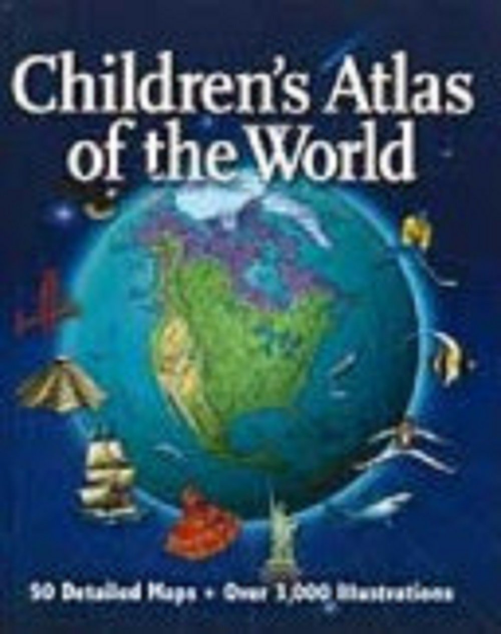
Here is an atlas created specifically to meet the needs of children living in today's information-rich world. More than 50 full-color, detailed maps; over 3,000 illustrations of the world's places, people, landscapes, and wildlife; an easy-to-follow introduction to mapmaking and map reading; a World Fact File covering every country and major territory -- plus dozens of fun projects, activities, and quizzes -- make this the most comprehensive and exciting children's atlas available today.
Although this is intended for children, as an adult I learned a few things and enjoyed this book. :) It's slightly outdated, so I'm interested to see how some things have changed since this was published
My Grandma bought me this book as a Christmas present when I was in second or third grade. I poured over these pages for hours upon hours. As a result I have a pretty good understanding of country’s populations during the 2000 census!
Thanks Grandma for this wonderfully nostalgic book.
Really nice atlas for kids, adults or anyone. Contains excellent physical and political maps. It also does a really nice job of using graphics to help visualize numerical rankings, such as world population.
The political maps contain the typical icons overlaid on the maps (cows, fish, wine bottles). I admit that can be a touch cheesy, but I think is engaging for kids.
One complaint for American readers is that the U.S. is divided into four separate maps, so it does not contain a one-age 50-state map. (No such problem for Australia, where this atlas was published.)