Jump to ratings and reviews
Rate this book

Roadside Geology of Colorado

Rate this book
The third edition of this popular guide is now even better—it’s full color. Colorado’s multihued rocks—from white and red sandstones to green shales and pink granites—are vividly splashed across the pages in stunning color photographs. Detailed color maps and diagrams clearly distill the state’s complex bedrock geology. Updated text includes information about new discoveries, such as the mastodons and other Pleistocene fossils found at Snowmass, and new parks, such as Chimney Rock National Monument. Roadside Geology of Colorado is a must-have for any Colorado rock enthusiast.

522 pages, Kindle Edition

First published September 1, 2013

69 people are currently reading
61 people want to read

About the author

Ratings & Reviews

What do you think?
Rate this book

Friends & Following

Create a free account to discover what your friends think of this book!

Community Reviews

5 stars
46 (53%)
4 stars
30 (34%)
3 stars
9 (10%)
2 stars
0 (0%)
1 star
1 (1%)
Displaying 1 - 9 of 9 reviews
Profile Image for Daniel Chaikin.
594 reviews73 followers
July 30, 2022


35. Roadside Geology of Colorado (Third Edition) by Felicie Williams & Halka Chronic
published: 2014 (first edition 1980, 2nd 2002)
format: ~382-page Kindle ebook
acquired: July 15 read: Jul 15-25 time reading: 17:43, 2.8 mpp
rating: 4
genre/style: popular science theme: geology/travel
about the author: Halka Chronic: 1923-2013, an American geologist born in Tucson, AR. Felicie Williams: 1953-2015, daughter of Halka, an American geologist born in Boulder, CO.

So tragic story behind this. The authors were mother and daughter. Halka Chronic, author of the original edition (and also of Roadside Geology guides for Utah, Arizona and New Mexico) died in 2013, age 93, the year before this 3rd edition. Felicie Williams, a mine mineral mapper, died of cancer (work related?) the year after, age 62. Who will do the next edition?

But it‘s good stuff, on a very complicated place.

Colorado geological history in a not so clear nutshell:

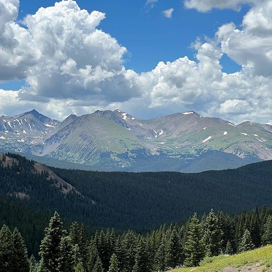
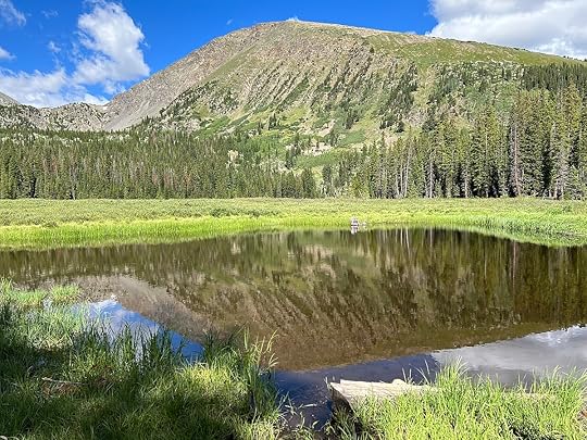
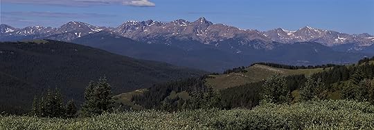
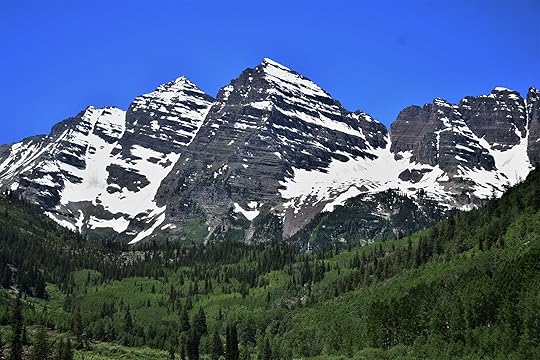
A lot happened in Colorado over a 400-million-year period, from 1.8 to 1.4 billion years ago. And then there is no record for 1 billion years. At the end of this lost record Colorado was flat, until around 300 million years ago (Pennsylvanian period) when the Ancestral Rockies formed. These brought deep ancient rocks to the surface, and then also weathered flat over the next 200 million years. 100 million years ago Colorado was under deep water, accumulating thick deep marine sediments. Then around 70 million years ago Laramide mountain building started working west to east across Wyoming and Colorado, bringing ancient deeply buried rocks up to the surface again, creating most of current assortment of mountain structure, but these mountains were lower than today... like 5000 ft lower. About 25 million years ago all of Colorado and the surrounding region rose up 5000 ft. Before that Colorado's many famous 14,000 ft peaks were 9000 ft peaks. At the same time a deep rift formed between most of the state of Colorado and an area called the Colorado Plateau. The Colorado Plateau is not a mountain range. Incorporating southern Utah, northern Arizona, all of the Grand Canyon, and the west edges of Colorado and New Mexico, it is largely undeformed, just high. The rift is the Rio Grande Rift. This was accompanied by a lot of volcanism (at least through 6 million years ago) that created the San Juan Mountains in western Colorado.

There is a degree of confidence in explaining the Ancestral Rocky and Laramide mountain building phases. But the late phase has no settled explanation. It's largely the kind of activity expected at the end of a tectonic plate, not in the middle.

The authors put it this way: Some geologists proposed that the volcanism was triggered as the North American plate overrode the Pacific plate and part of its midocean ridge by perhaps as much as 1200 miles. If so, friction would have melted great quantities of crustal rock, which then may have risen along old faults to build volcanoes ... Eventually, the subducted plate may have run up against the deep roots of the Rockies and been unable to push farther east, creating the huge forces that brought about regional uplift in Colorado and neighboring states. Development of the San Andreas fault in California may have relieved the pressures and brought on tension, stretching the domed-up area to the breaking point and creating the deep faults associated with the Rio Grande Rift. Those faults, reaching down to the mantle, would have allowed the escape of magma from the mantle--the basalt flows of the Late Phase of volcanism.

A far-fetched story? It may be. It fits the facts, but the facts are too few."


I read it through, mostly while in the above pictured mountains in CO last week (and the flights there and back) and enjoyed it quite a bit. The geological maps of mountains can really undermine the desire for order and explanation. The authors do a great job of providing lots of local simplified geological maps and explanations so the reader can work out the bigger geological trends. The bad thing is those maps are not located on any reference map, so sometimes I needed Google Maps to figure out where the map was.

Profile Image for Pj.
180 reviews5 followers
August 1, 2022
Wow! What a book! I read every page! At first, had to learn the 'language' of geology...times and terms. Then once I was comfortable, I was able to get into the flow of the book. It explained all the geology along all major roads in Colorado. It can be dry reading, but with all the gloss color photos and interesting tidbits, it kept me going. Plus, I knew many areas in CO, so that attached geology to places I've already have seen. I'll never look at a mountain the same again!
Profile Image for Chris Meads.
648 reviews10 followers
May 25, 2020
I am interested in Geology and I live in Colorado. This is an interesting history of Colorado's geologic past seen from the various highways in the state. The pictures are wonderful and in color and it is easy to read.
Profile Image for Haley Boron.
17 reviews
December 25, 2025
Would highly recommend this for people who are into geology or curious as to how and why and how the amazing Colorado landscapes were created. The chapters are divided by road system. It is amazing to fly over Colorado and understand the ancient sea way that once occupied it. It is fascinating to drive to Vail for skiing and understand how the mountains formed in the first place. Appreciating Colorado's beauty is wonderful when you also have millions of years of geologic context to all of the hikes and landforms we enjoy today.
Profile Image for Erika.
103 reviews6 followers
August 29, 2020
Beautiful book, full of fascinating illustrations and evocative descriptions and entertaining side notes about the human history of the geology. The smooth alkaline paper and the quality printing of the color photos make it a joy to turn pages.
Profile Image for Mike.
152 reviews4 followers
August 22, 2022
Excellent series that details the geology of the state, particularly what you can see along major roadways. Excellent color maps and illustrations.
10 reviews
February 16, 2025
Great road descriptions, but I’m still confused on the tertiary Piedmont years later
Profile Image for Cheryl.
1,351 reviews122 followers
November 17, 2024
How old is Colorado? A thousand years? A million? Some rocks in Colorado, dated by measuring daughter elements produced by radioactive decay, tip the calendar at close to 2.5 billion years. Two and a half billion is a staggering figure: more than half the age of Earth, time enough for 100 million human generations. If each page of this book were to represent a single year, 2.5 billion years would build a pile of pages twenty-five times as high as Mt. Everest, fifty-one times as high as Colorado’s loftiest peak, Mt. Elbert. Fifty-four peaks in Colorado top 14,000 feet and are known affectionately as “Fourteeners.” Many of them lie near or on the Continental Divide, an almost mystical dividing line between east and west, between streams flowing toward the Pacific and streams bound for the Atlantic.

My practical go-to when I am out and about, and wondering if a new edition is forthcoming, since there are always new discoveries and adjustments. I am really starting to see the big-picture geology better with some work this fall, and it is sublime and inspiring.

Colorado’s geologic story began around 2.5 billion years ago. Several areas of continental crust, called cratons after the Greek word for “shield,” had already formed. The oldest craton near Colorado, often called the Wyoming Province, underlies Wyoming and parts of Utah, Idaho, and Montana. Some geologists speculate that it extends south beneath part of Colorado’s Front Range. A tiny sliver of 2.5-billion-year-old quartzite appears in the Uinta Mountains in northwest Colorado. During Proterozoic time, three sets of island arcs were added onto the Wyoming Province as a plate from the southeast plunged westward beneath it.

Though the state has since remained far from any plate boundaries, roughly 1.4 billion years ago some distant landmass—possibly South America—collided with what is now Texas and Oklahoma. In Colorado that collision caused crustal melting and produced a scattered group of intrusions known to geologists as the Berthoud Plutonic Suite.

During the past 480 million years, Colorado (small rectangle) has wandered the globe with our changing continent as it spun northwestward, crossed the equator, crunched into other continents to form the supercontinent Pangea, and then split off again and drifted northwest to its present position.


Mount of the Holy Cross, Sawatch Range


Maroon Bells, Elk Range
Displaying 1 - 9 of 9 reviews

Can't find what you're looking for?

Get help and learn more about the design.