

What do you think?
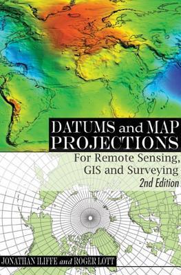
Datums and Map Projections: For Remote Sensing, GIS and Surveying
A practical guide to coordinate reference systems, Datums and Map Projections: For Remote Sensing, GIS and Surveying has become a key book for many students and professionals around the world. While retaining the benefits of the first edition - clear presentation assuming no prior knowledge, a problem-solving approach, practical examples and the combination of GPS-derived data from other sources - the rewritten and expanded second edition includes a revised structure that better groups common themes, greater scope and coverage of all possible types of coordinate reference systems, more examples and case studies from around the world, terminology of the ISO 1911, and color illustrations.
192 pages, Paperback
First published June 22, 2000
Ratings & Reviews
Friends & Following
Create a free account to discover what your friends think of this book!
Community Reviews
Displaying 1 - 3 of 3 reviews

August 18, 2016
I was a bit confused about the topic so I went to my local university library to study up. I found a book that really filled me in on this topic. It is a bit heady with math and stuff but you can skip those paragraphs. It covers datums, projections, coordinate systems, coordinate reference systems, GPS, and all the wonderful math involved in transformations and conversions between datums and coordinate systems.
August 4, 2016
Superior overall graphic design. Map graphics and diagrams are legible, visually interesting, and designed for consistency within each category of graphics (maps, diagrams, tables, and process flow charts).

April 27, 2021
An excellent read that will explain everything you need to know about datums and map projections. The explanation of how GPS works at the end was also highly informative.
The book is fairly technical, but readable without much prior knowledge.
The book is fairly technical, but readable without much prior knowledge.
Displaying 1 - 3 of 3 reviews