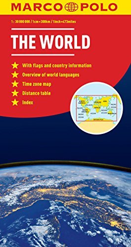
Marco Polo maps feature completely up-to-date, digitally generated mapping. A fold-out overview map is ideal for route planning and 7 self-adhesive Marco Polo mark-it stickers can be used to pin-point a destination or route for future reference. Map Scale - 1: 32 000
I love this political world map that would be helpful for my trip planning and learning geography with my 4 years old daughter. The paper quality is good, map seems durable and given this is a poster that is important characteristic.
I especially love its nice gloss effect that additionally enhances map colors.
It is a big map, yet it shows a whole world, therefore it is understandable that place names have to be small and that was not possible to include even all the larger cities. Yet, the map makers included all the capitals and for those countries that are too small to be seen in such map scale convenient trick was used with the map legend. If you are interested in larger details, I think world political map is not kind of map you would expect something like that to be found. My advice is to buy a map of particular country or region if you are interested in details.
Therefore this political map prepared by Marco Polo is a great buy if you want to learn a bit about geography or do some trip planning. Or simply enjoy looking at it on your wall as cool looking poster.