Home
My Books
Browse ▾
Recommendations
Choice Awards
Genres
Giveaways
New Releases
Lists
Explore
News & Interviews
Loading...
Community ▾
Groups
Quotes
Ask the Author
People
Sign in
Join
Jump to ratings and reviews
Want to Read
Kindle $9.99
Rate this book
RTK Mapping: Step by Step
Jim Crume
5.00
1 rating
0 reviews
Want to Read
Kindle $9.99
Rate this book
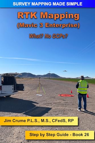
It is possible to get good horizontal and vertical results with no
GCPs
as shown above using an
RTK
base.
A drone platform with
RTK
capabilities, a lens that has been calibrated and a sensor that meets the specifications for aerial mapping are required.
Experience in working with map projections, Grid to Ground relationships, are required to make the necessary adjustments for the final deliverables.
For any surveying product, experience and due diligence is required to insure that the final deliverables meet surveying and mapping standards.
52 pages, Kindle Edition
Published December 15, 2023
Book details & editions
2 people are currently reading
1 person want to read
About the author
Jim Crume
71 books
1 follower
Follow
Follow
Ratings
&
Reviews
What do
you
think?
Rate this book
Write a Review
Friends
&
Following
Create a free account
to discover what your friends think of this book!
Community Reviews
5.00
1 rating
0 reviews
5 stars
1 (100%)
4 stars
0 (0%)
3 stars
0 (0%)
2 stars
0 (0%)
1 star
0 (0%)
Search review text
Filters
No one has reviewed this book yet.
Join the discussion
Add
a quote
Start
a discussion
Ask
a question
Can't find what you're looking for?
Get help and learn more about the design.
Help center