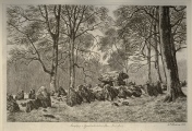
Andy Burnham's Blog, page 180
January 22, 2021
Dulnain Bridge


January 20, 2021
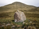
Knocknagappul Stone Row
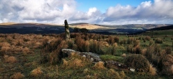
This panorama is looking North East with the Boggeragh Mountain range in the background, the third stone lies in the foreground, it is 4 metres long amazingly.
January 19, 2021
Bärens Kirchhof
January 18, 2021
Rejnstrup Langdysse 3
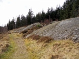
Peatshiel Sike
January 14, 2021
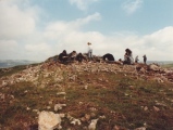
Wigber Low
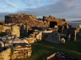
Gurness
January 12, 2021
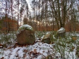
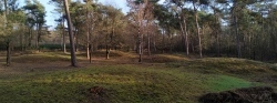
Grafheuvels op de Zuilensteinse Kop (45579)
January 11, 2021
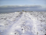
Carnedd Moel Y Ci
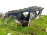
Cool East wedge tomb