Andy Burnham's Blog, page 169
June 20, 2021
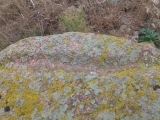
Mont de la Ville


June 19, 2021
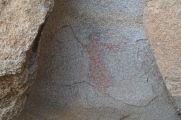
Brunette Lady
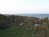
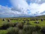
Burrian Broch
June 17, 2021
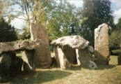
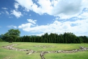
Ansan-Ri Dolmen
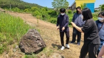
June 16, 2021
Northern Earth Issue 164 Out Now - Celebrating 100 years of ley lines
In this issue: A Century of Lines on the Map. Celebrating 100 years of leys. With contributions from Philip Heselton - who remembers his journey with Alfred Watkins, Paul Screeton looks back on the 1960s and 70s and John Michell's contribution. Paul Devereux re-visions the ley, Mark Valentine remembers Donald Maxwell, an early ley enthusiast. John Billingsley suggests leys are not that esoteric, and that energy might be a secondary remanent effect of human activity. And more...
Venus II. Menhir
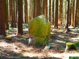
June 14, 2021
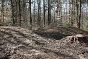
Zigiholz Grabhügel
Blakeley Raise
June 11, 2021
Japanese Chronology for Stone circles (late Jōmon era, 6000-3000 BCE)
June 10, 2021
Teufelsstein Carmzow